Looking for your apps? Click the account icon in the upper right corner of the page.

Maximum performance for asphalt pavers

Follow a set reference or pave in 3D with variable thickness

Hero Image

Choose the right setup for your project and budget

Topcon asphalt paver systems give you the flexibility to set up your paver to meet your project’s demands. Choose from entry-level systems that follow a reference, such as a string or a curb - or automated solutions that track your paver in 3D and lay a variable-thickness mat for ultimate road smoothness. 

Variable thickness paving: smooth out the rough spots

In an ideal world, you would always lay down a blacktop on a perfectly milled or distributed base layer. Waves, drop-offs, potholes, and other conditions can cause a very different reality. Setting your screed to a fixed depth in these scenarios could allow these imperfections to “show through” even after the surface is repaved.

Variable thickness paving automatically averages the paver’s screed height to the high and low points for a smoother road with a longer projected lifespan. This technique provides a better driving experience and helps you meet DOT-mandated smoothness standards.

Variable thickness paving: smooth out the rough spots

Pave with automated 3D guidance

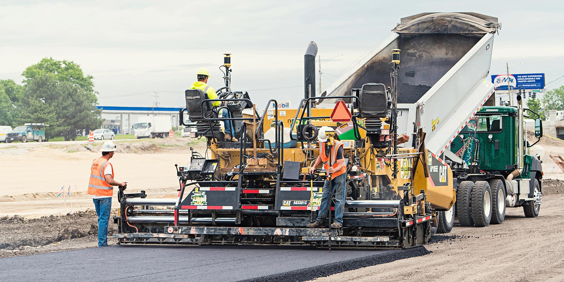
Our traditional 3D paving systems use Millimeter GPS or robotic total stations to position and report the machine’s location and height. This reduces reliance on string lines or other references and accelerates the paving process. These control systems maintain a constant height accuracy of a few millimeters all day long. In addition, 3D paving tends to ease the downstream burdens on compaction teams.

Variable thickness paving: smooth out the rough spots

Follow a fixed reference for 2D paving

Our 2D paving systems use sonic trackers to follow string lines, existing surfaces, or curbs. Mill and fill (also known as mill and overlay) projects, where pavers are laying tarmac on relatively flat base layers, are good uses of this technology.

Follow a fixed reference for 2D paving

Thermal Mapper reduces asphalt failures

The Thermal Mapper monitors asphalt temperature during the paving process to identify thermal segregation issues while they can still be corrected. This real-time capturing provides valuable information for compaction and documents the paving quality both internally and towards the ordering party. 

Thermal Mapper reduces asphalt failures

Sample configuration

Topcon asphalt paving systems allow you to combine and configure groups of components and sensors for your project needs. This is one example, but you can learn about additional configurations here

1. GNSS receivers, mmGPS, prism, etc.

2. Display

3. Robotic Total Station

4. Sonic Tracker and other sensors

5. Thermal Mapper

Establish a level foundation with SmoothRide for RD-MC

Smooth road surfaces start with a solid plan for paving efforts. Scanning road surface conditiong while driving at speed is the first step in the SmoothRide road resurfacing process. Millions of points of scan data are used to depict accurate as-built data, provide estimates, and create the design for the variable-depth milling or variable-thickness paving phases of your road construction project. The correct milling depth or paving height is determined by calculating the difference between the as-built model and the design. Only the horizontal positioning is provided with GNSS. This enables you to collect all data quickly and eliminates the need for optical total stations, broadening your project work. In areas without sufficient GNSS coverage, horizontal positioning can be performed with laser-focused robotic total stations.

Establish a level foundation with SmoothRide

Virtual Ski dramatically cuts design time

Virtual Ski is made for federal and country roads and other scenarios where there are fewer fixed points or intersections to match. Simply scan and mill or lay the base layer and let the milling machine or the paver follow the design surface. Our milling/paving software lets you replace analog Multiplex-Ski, Big Ski, or Sonic Ski models and offset the Virtual Ski from 13 to 330 feet off your chosen alignment, even on sharp curves. This results in a reduction of ski installation downtime; production of a smooth surface more quickly with less effort; and significant time savings, thanks to eliminated design activities.

Related offerings

Get in touch

Thank you! We will be in touch.